Earth's Digital Twin Opens Era of Real-Time 3D Mapping
Defense Industry Consortium 'Orbion Project' Tracks Real-Time Global Changes Beyond GPS

- •A consortium of five defense industry companies officially announced the Orbion Project in September 2025, which aims to build the entire Earth as a real-time 3D digital twin.
- •By integrating AI, radar, drones, and satellite imagery, it tracks changes at the millimeter level in real-time and can be applied to disaster response, agriculture, logistics, and urban planning.
- •While transitioning from the static coordinate system of traditional GPS to a living map, privacy concerns and technical integration challenges remain.
The End of the GPS Era, A New Mapping Revolution
GPS (Global Positioning System), which has been responsible for our navigation for decades, is facing its limits. The existing system, which only provides static coordinates, has become insufficient to meet the demands of our rapidly changing modern society. Against this backdrop, the Orbion Project has emerged with the ambitious goal of building the entire Earth as a real-time updated 3D digital twin.
This project, a consortium of five technology companies from the defense industry, is building a system that goes beyond simple mapping services to track all changes on Earth's surface in real-time down to the millimeter level. Officially announced in September 2025, this initiative is expected to impact nearly every industry, including disaster response, urban planning, agriculture, and logistics.
The Technology Puzzle Created by Five Companies
The core of the Orbion Project lies in integrating the specialized technologies each company possesses into one unified system.
Aechelon fills data gaps in underserved regions with photorealistic imagery using 'synthetic reality' technology. This is particularly useful in areas not captured by satellites or inaccessible locations.
Niantic Spatial handles local scanning technology using drones and smartphones based on its augmented reality (AR) expertise. The company's technology plays a critical role in enabling rescue teams to gain real-time situational awareness at disaster sites.
ICEYE detects 'the invisible' regardless of weather or lighting conditions with high-resolution radar technology. It can track everything from historical movement paths of objects to millimeter-level changes.
Distance Technologies is developing heads-up displays (HUD) that enable 3D visualization without special glasses. Currently being piloted in the automotive industry, it is expected to significantly enhance driving safety in low-visibility environments.
BlackSky uses artificial intelligence (AI) to filter and analyze massive volumes of satellite imagery, providing immediately actionable information instead of raw data. It plays a crucial role in situations where every second counts, such as disaster scenarios or security decision-making.
Fundamental Differences from GPS
| Category | Traditional GPS | Orbion Project |
|---|---|---|
| Data Characteristics | Static coordinates | Real-time 3D environment |
| Update Cycle | Days to weeks | Near real-time |
| Precision | Meter-level | Millimeter-level |
| Visualization | 2D flat | 3D terrain |
| Data Sources | Single (satellite) | Multiple (satellite+drone+sensor+AI) |
| Environmental Constraints | Weather/lighting affected | All-weather operation |
The biggest problem with traditional GPS is that data becomes quickly outdated. When terrain changes after an earthquake, existing maps no longer reflect reality. In contrast, Orbion integrates and analyzes multiple data sources in real-time to immediately update information.
The World Digital Twins Will Change
The future this project promises goes beyond simple navigation improvements. Let's look at some specific use cases.
Disaster Response Innovation
Rescue teams can identify the exact extent of flood-damaged areas before arriving on scene. Real-time 3D terrain data enables immediate identification of optimal access routes and isolated areas.
Smart Agriculture
Tracking the movement paths of crop pests and diseases in real-time enables proactive response before damage occurs. Millimeter-level terrain change detection allows early discovery of soil erosion or irrigation problems.
Urban Development
Observing how cities evolve in real-time enables urban planning that immediately reflects traffic flows, new construction, and population movement patterns.
Logistics Optimization
Delivery routes can be dynamically adjusted by integrating weather conditions, road situations, and traffic flows in real-time. Safe autonomous driving support is possible even in low-visibility environments.
Expansion from Defense to Civilian Sectors
It's no coincidence that this project is led by companies from the defense industry. In military operations, real-time terrain information and situational awareness are life-or-death factors. Now this technology is transitioning to civilian sectors, creating new markets.
In particular, ICEYE's radar technology was originally developed for military surveillance purposes but is now expanding its application range to wildfire early detection, marine pollution tracking, and infrastructure aging monitoring. Niantic Spatial, while known to the public through Pokémon GO, is now expanding into emergency rescue and industrial site support.
Technical Challenges of Data Integration
The core challenge of building a real-time digital twin is integrating heterogeneous data sources into one. Satellite imagery, drone photography, ground sensors, and radar data each have different resolutions, update cycles, and coordinate systems.
BlackSky's AI system plays a key role here. This system automatically detects changes in millions of satellite photos, prioritizes them by importance, and cross-validates with other sensor data to increase accuracy. For example, when detecting a suspected wildfire signal, it immediately combines thermal imaging data and weather information from that area to predict the spread path.
Privacy and Ethical Issues
The concept of monitoring the entire Earth in real-time at the millimeter level naturally raises privacy concerns. This is because there's potential for recording individuals' movement paths, property status, and daily activities.
The Orbion Project has not yet disclosed specific privacy policies such as data access rights, retention periods, and anonymization measures. While participation by defense industry companies guarantees technical capability, it simultaneously raises doubts about potential data sharing with military and intelligence agencies.
How to harmonize with privacy regulations like the EU's GDPR or US state privacy laws, and how to secure approval from governments worldwide for cross-border data collection, are critical variables that will determine the project's success or failure.
[AI Analysis] Paradigm Shift in the Mapping Industry
The Orbion Project is not simply improving GPS but has high potential to change the paradigm of the entire geographic information industry. Transitioning from 'snapshot-based maps' to 'living digital twins' will evolve maps from reference tools to decision-making platforms.
From a technical perspective, the notable point is integration with edge computing. Instead of transmitting all data to the cloud for processing, processors mounted on drones or autonomous vehicles analyze on-site immediately and transmit only necessary information. This dramatically reduces communication latency and alleviates bandwidth burden.
Economically, a new data marketplace is expected to form. Agricultural companies would subscribe to soil data for specific regions, insurance companies to disaster risk information, and real estate firms to urban development trends. This signifies a business model innovation transforming data from a 'one-time product' to a 'continuous service.'
However, achieving technical maturity will require considerable time. To track the entire world in real-time at the millimeter level requires thousands of satellites, millions of sensors, and tremendous computing power. In the process of integrating the technologies of five companies, technical barriers such as standardization issues, data format inconsistencies, and API compatibility must also be overcome.
Non-technical barriers such as harmonization with privacy regulations, international data sovereignty issues, and initial construction costs are also formidable. However, considering current trends of increasing frequency and intensity of disasters, accelerating urbanization, and expansion of autonomous driving and drone delivery, demand for real-time digital twins will continue to grow.
The Orbion Project is still in its early stages, but it's already presenting the future direction of the geographic information industry. If GPS told us 'where we are,' digital twins will show us 'what is happening.' This signifies not mere technological progress, but a fundamental change in how we understand and interact with the world.
댓글 (2)
관계자분들의 노력에 박수를 보냅니다.
Digital 소식 반갑습니다. 앞으로가 더 기대됩니다.
More in AI & Tech

Reddit Considers Face ID to Block Bots While Maintaining Anonymity

China Reduces Hypersonic Missile Core Technology Simulation to 7 Days

BTS Gwanghwamun Concert: AI Network Prevents Communication Crisis for 40,000 Fans
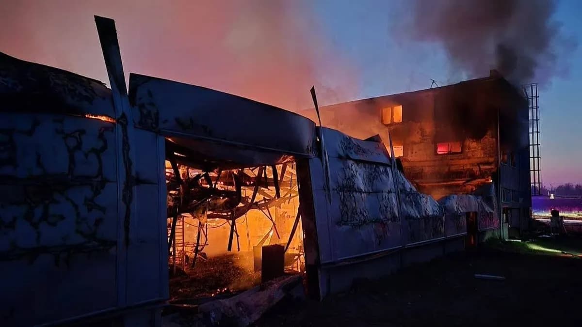
Czech Drone Factory Fire Under Investigation for Terrorism

Trump Slams NATO Allies as 'Cowards' Over Strait of Hormuz Refusal
Google Unveils Gemini 3.1 Flash-Lite Optimized for High-Volume Processing
Latest News
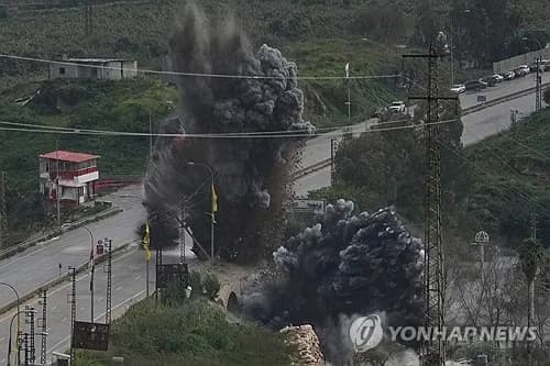
이스라엘, 헤즈볼라 무기 통로 레바논 다리 공습
이스라엘군, 헤즈볼라 무기 통로 레바논 다리 공습
중동행 전세기 전쟁보험료 최고 7천500만원
중동행 전세기 전쟁보험료가 최고 5만달러(7천500만원)로 상승

이란 탄도미사일, 이스라엘 방어망 뚫고 160명 부상
이란 탄도미사일이 이스라엘 방공망을 통과해 160명 부상

Middle East Conflict Drives Manufacturing Outlook to 10-Month Low
The Korea Institute for Industrial Economics & Trade survey shows April manufacturing outlook PSI plummeted to 88, falling below baseline for the first time in 10 months.

Lee Jae-myung Administration Excludes Multi-Home Officials from Real Estate Policymaking
President Lee Jae-myung has ordered the exclusion of multi-home owning public officials from all real estate policy processes.

Southeast Asia Growth Forecasts Cut Amid Oil Price Surge, Threatening Korean Exports
Maybank Research has downgraded ASEAN-6's 2026 growth forecast from 4.8% to 4.5%.

Volkswagen CEO Says Germany Should Learn from China's Industrial Strategy
Volkswagen CEO stated that Germany should learn from China's systematic industrial planning approach.

BTS Tops March Artist Brand Reputation Rankings with First Full Group Comeback in 4 Years
BTS ranked first in the Korean Corporate Reputation Research Institute's March Artist Brand Reputation Rankings based on 99 million data points.